by Place.
We tell the stories of people and places with the precision of someone who truly understands them.
From family milestones and athlete stories to new home launches and club events - we bring drone and ground-level camera work together to capture the moments and places that matter.
Aerial and ground-level content that sells lifestyle, not just bricks. Story reels, photography, and launch assets for new developments.
Find Out MoreMatch-day coverage, training session reels, pre-season hype content, and club culture storytelling that builds real pride.
Find Out MoreTraining reels, mini documentaries, and terrain-intelligent drone shots that follow athletes and capture what drives them.
Find Out MoreTeam culture, company stories, and recruitment content. Behind-the-scenes storytelling that shows what your organisation is really about.
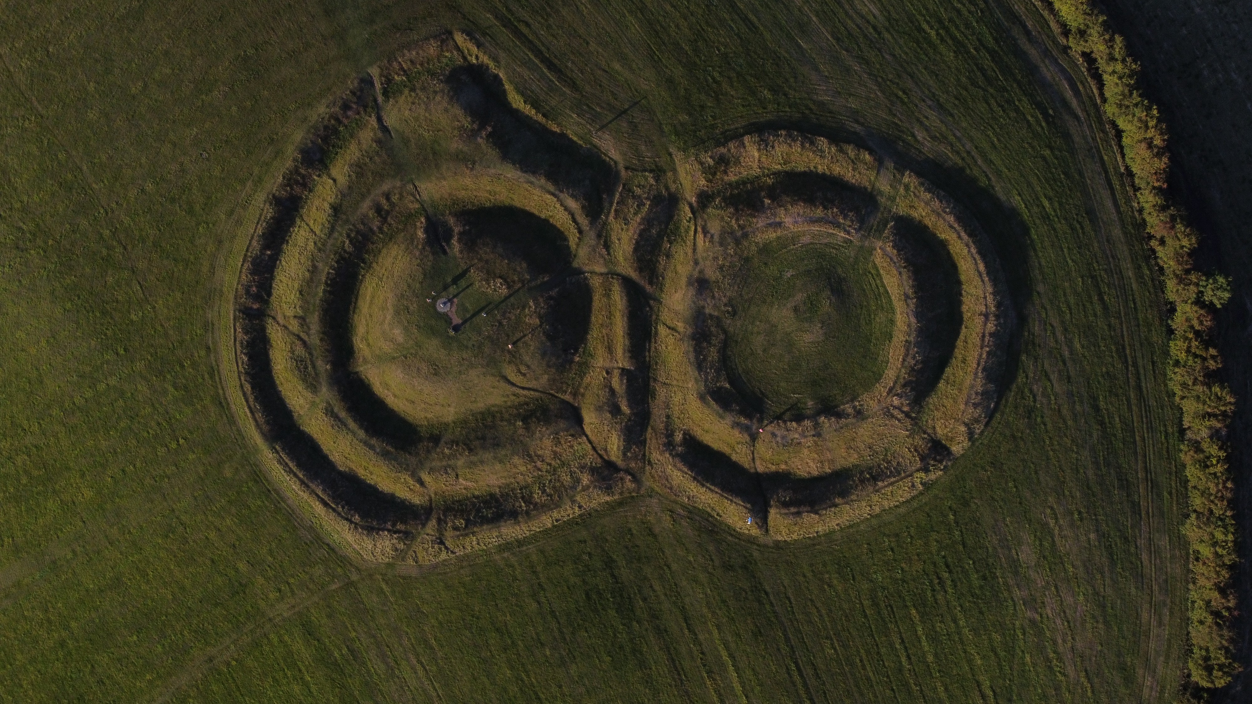
Find Out MoreOngoing aerial documentation of construction, land, or any project where drone imagery adds unique perspective over time.
Find Out MoreEditorial, narrative-driven content about people, communities and landscapes - rooted in the Boyne Valley and Irish countryside.
Find Out More